
Mill Creek Area
NOW: Outfall from the Lick Run Greenway into the Mill Creek (east end of the project). Photo taken on June 1, 2021.
BEFORE: Banks of the Mill Creek. Photo taken in fall 2017.
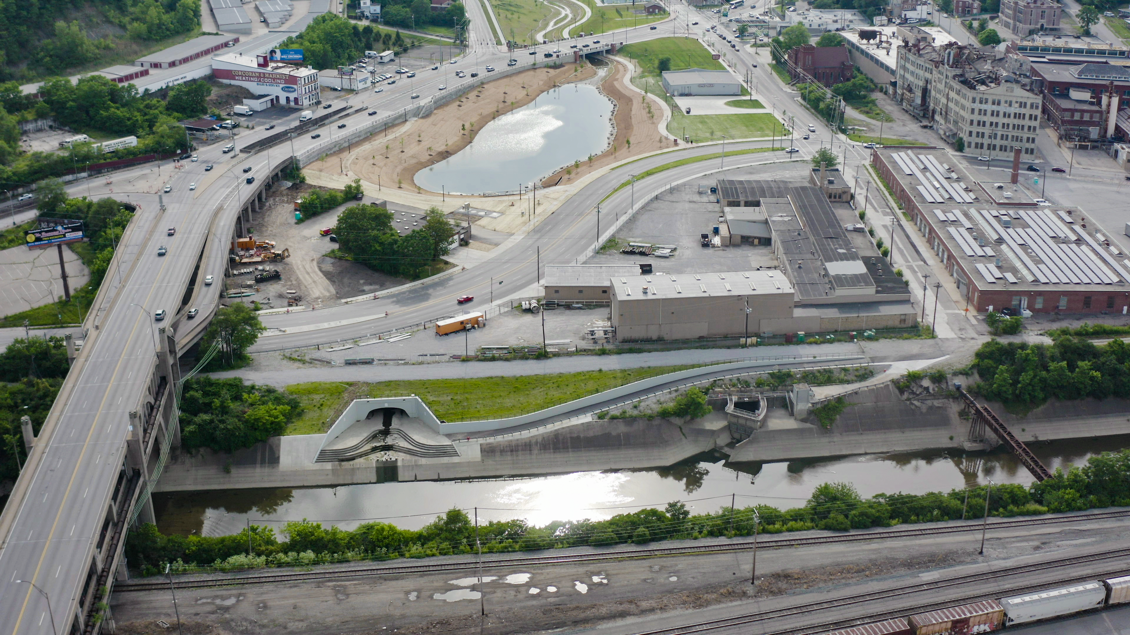
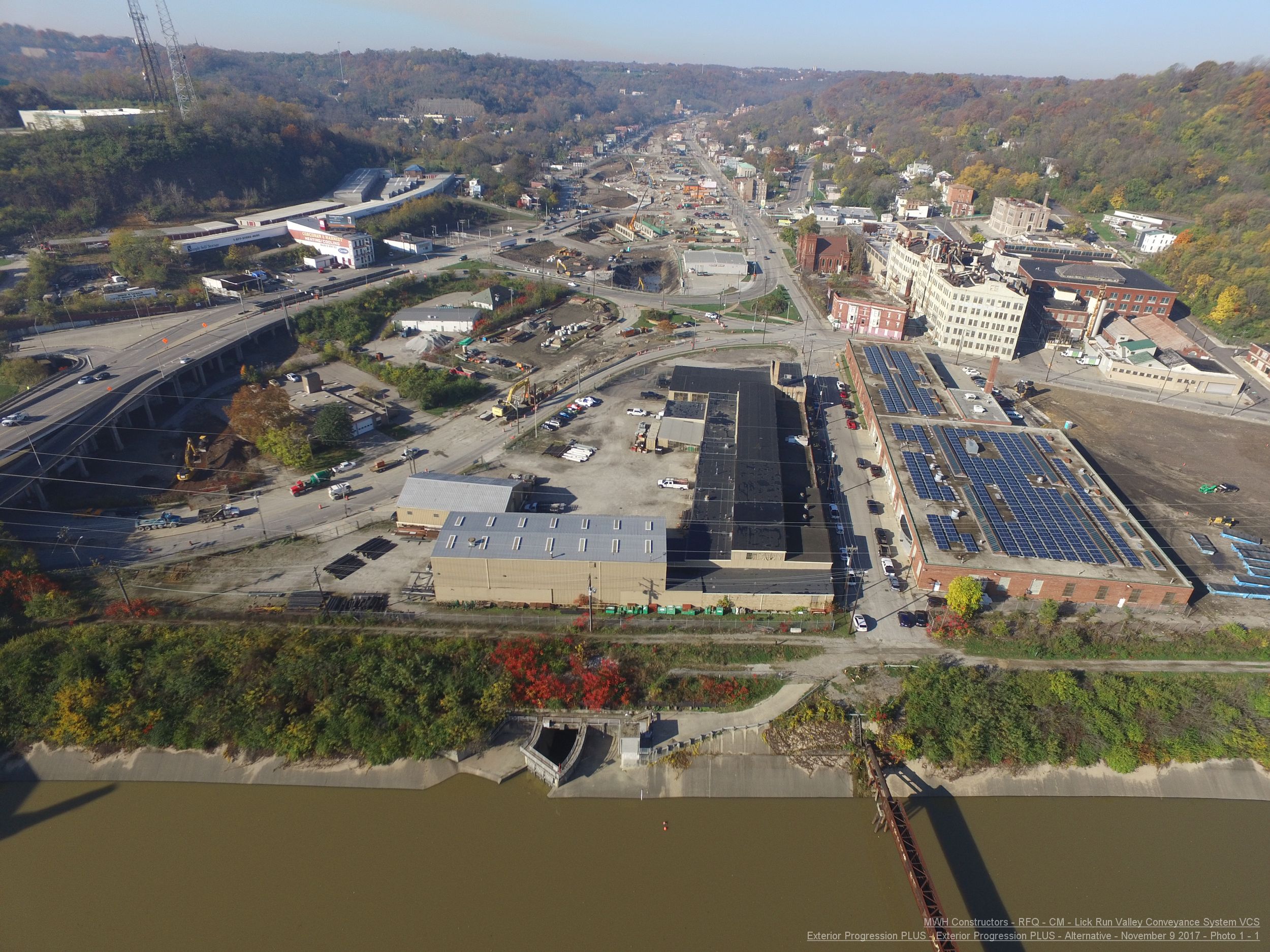
Beekman/State Street Area

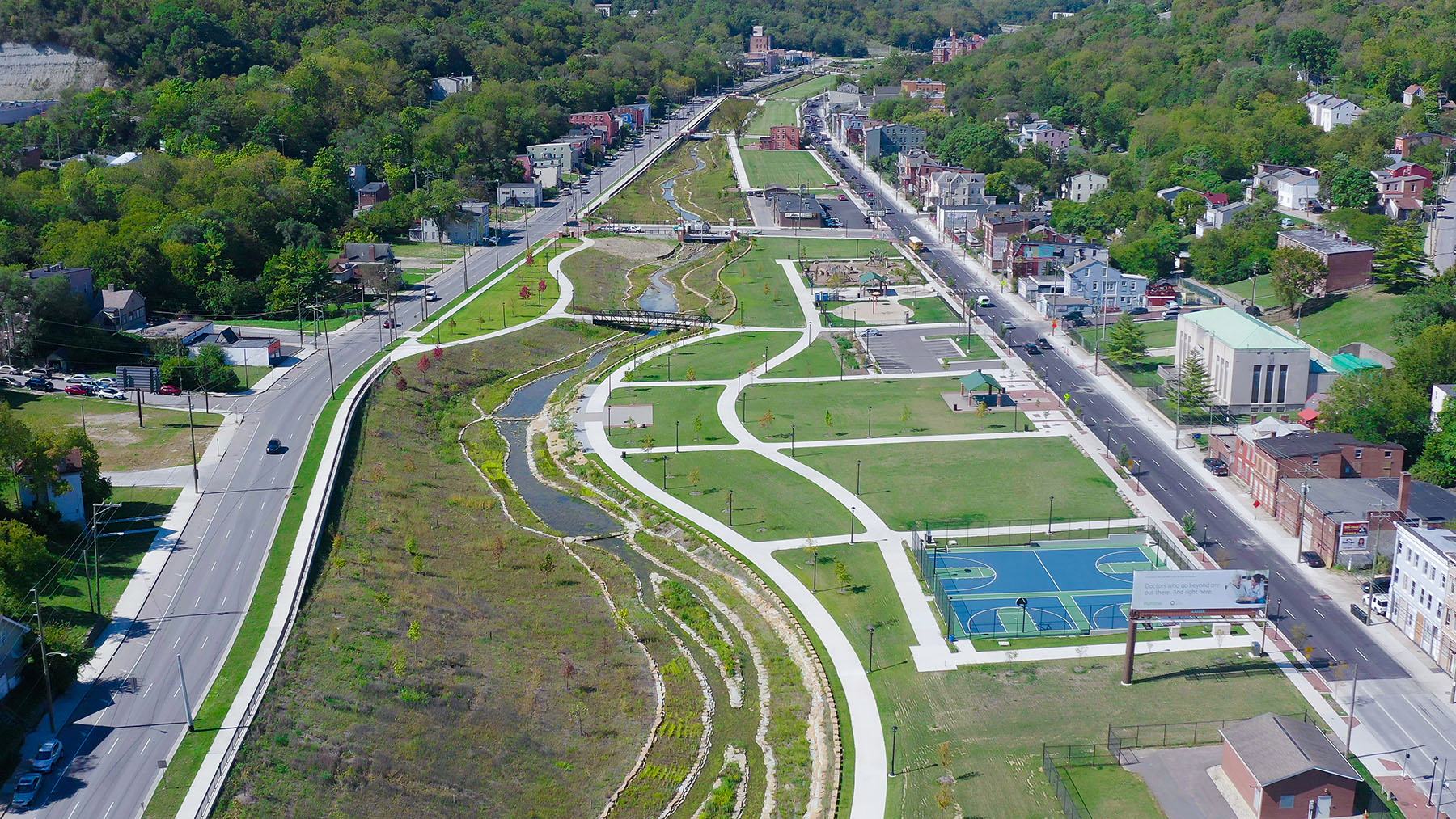
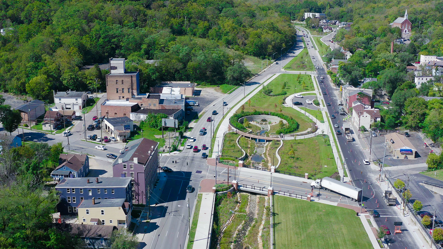
NOW: Pond area. Photo taken on October 1, 2021.
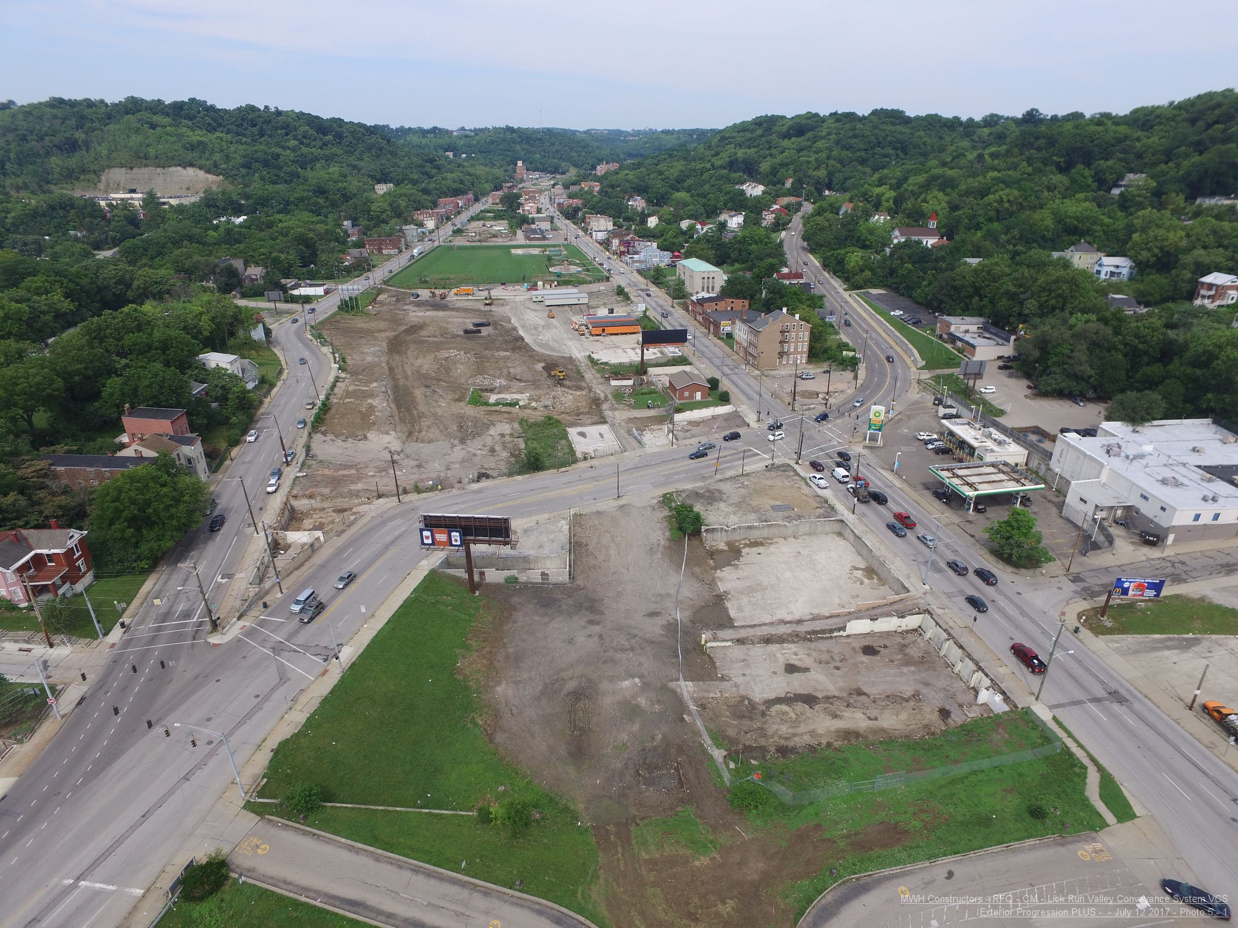
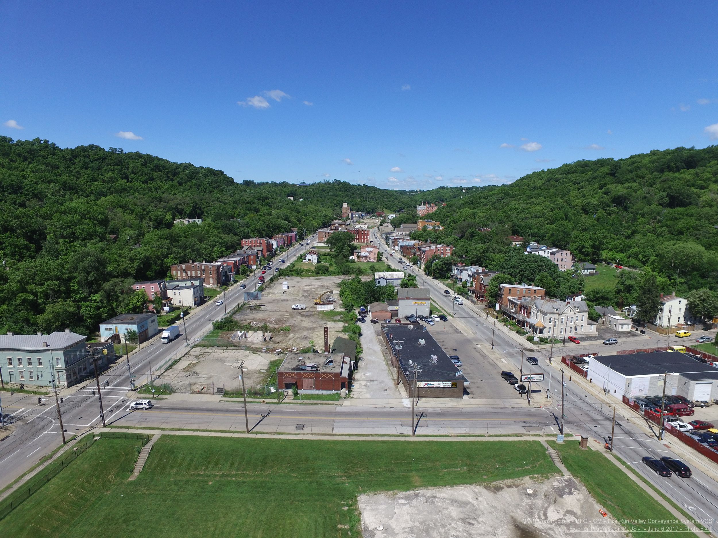
BEFORE: State Street/Beekman Street area. Photo taken in June 2017.
Harrison Avenue Bridge
NOW: The new Harrison Avenue bridge. Photo taken on October 1, 2021.
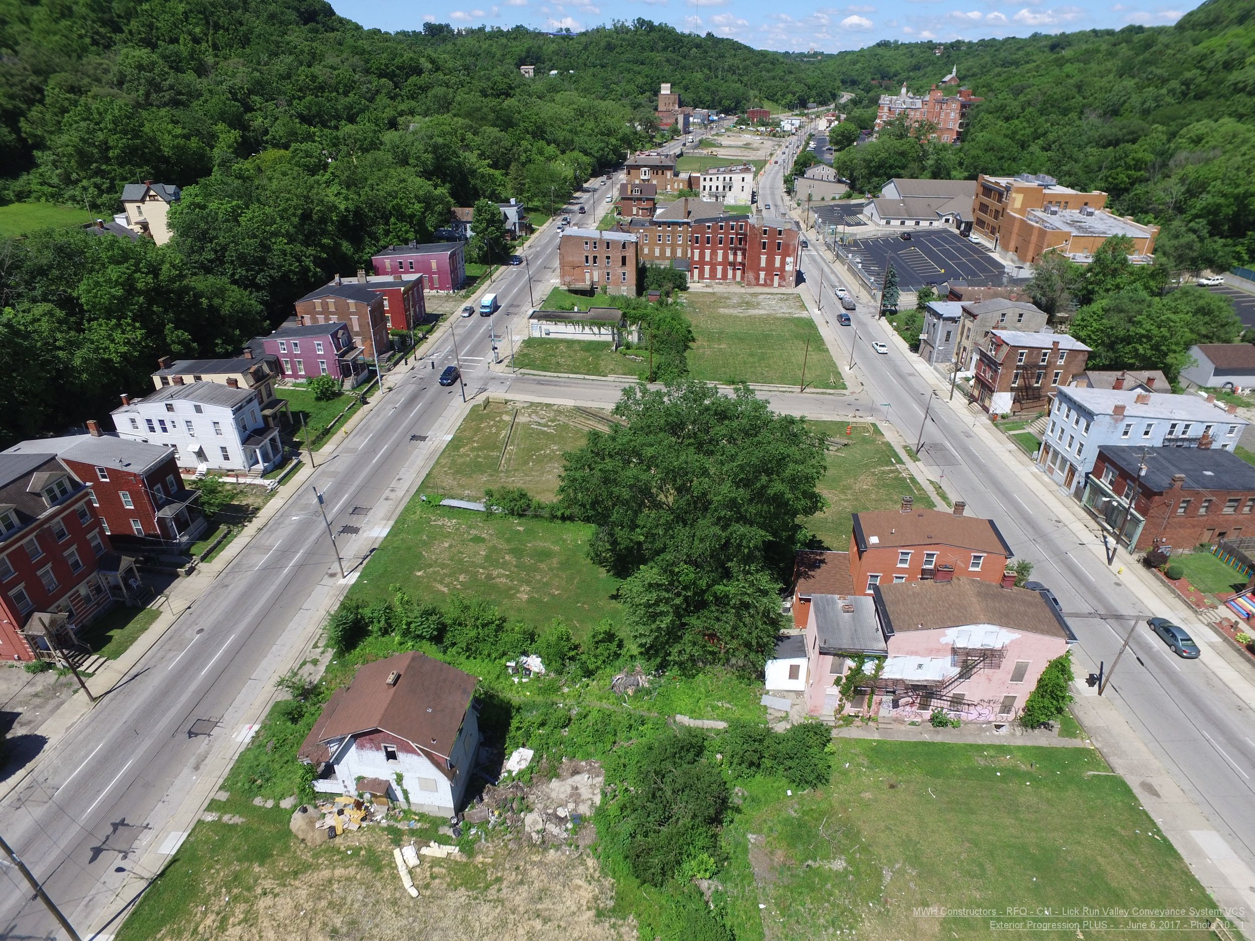
BEFORE: Harrison Avenue area. Photo taken in June 2017.
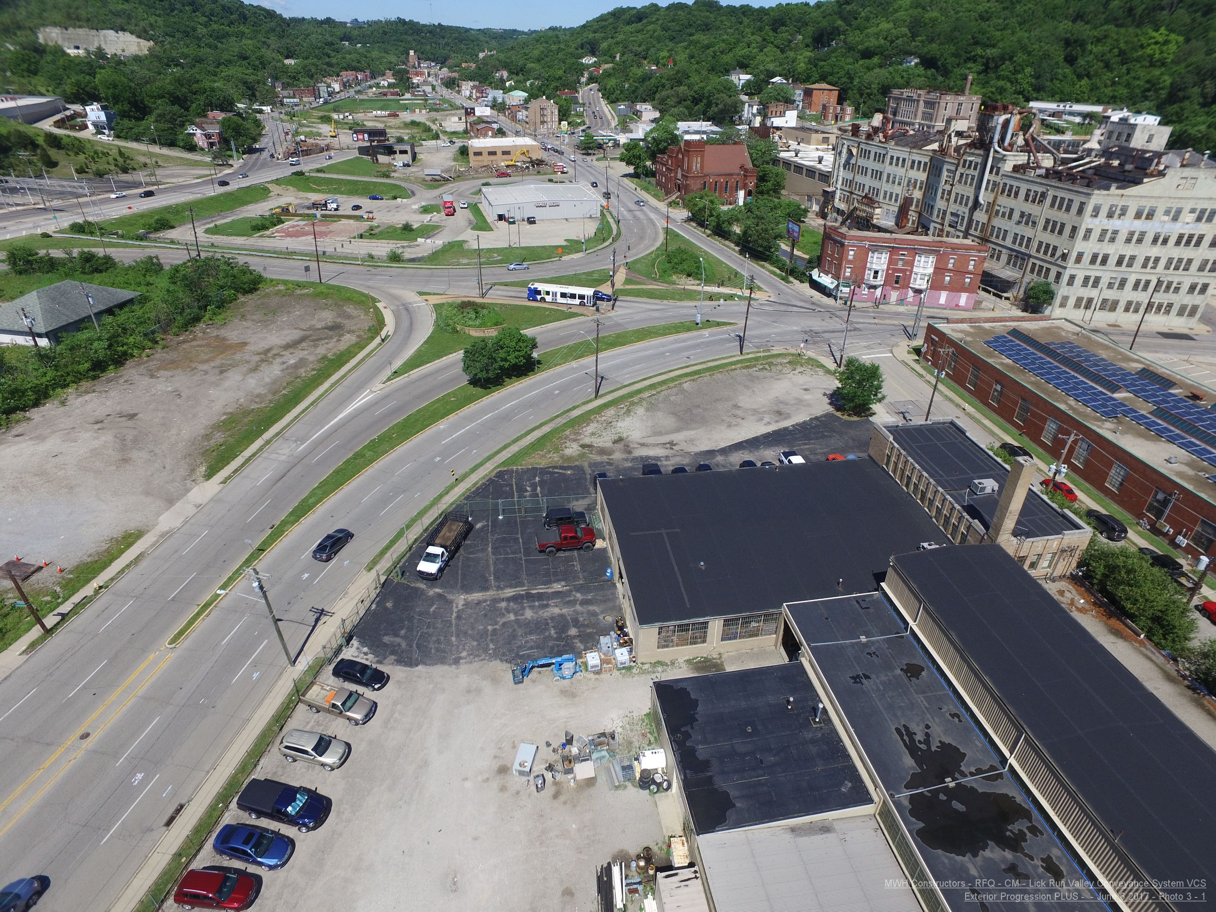
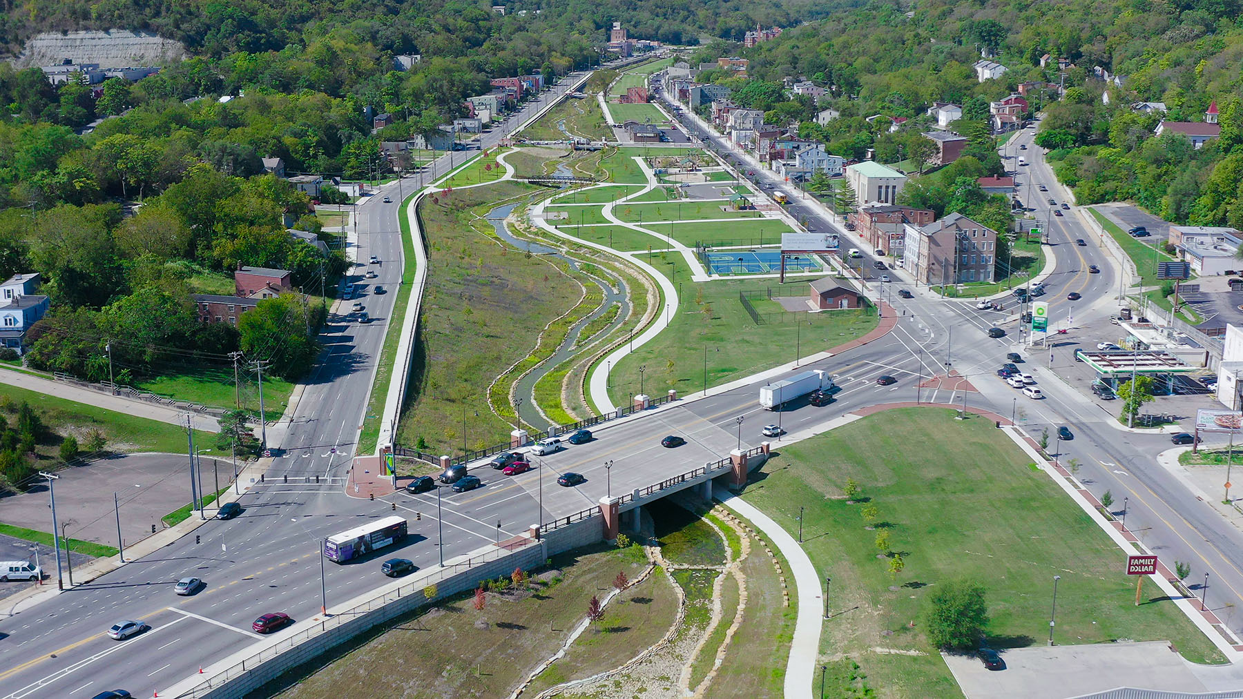
South Fairmount Recreational Area West of Harrison Avenue
NOW: New recreational area (e.g., playground, basketball courts).
Photo taken on October 1, 2021.
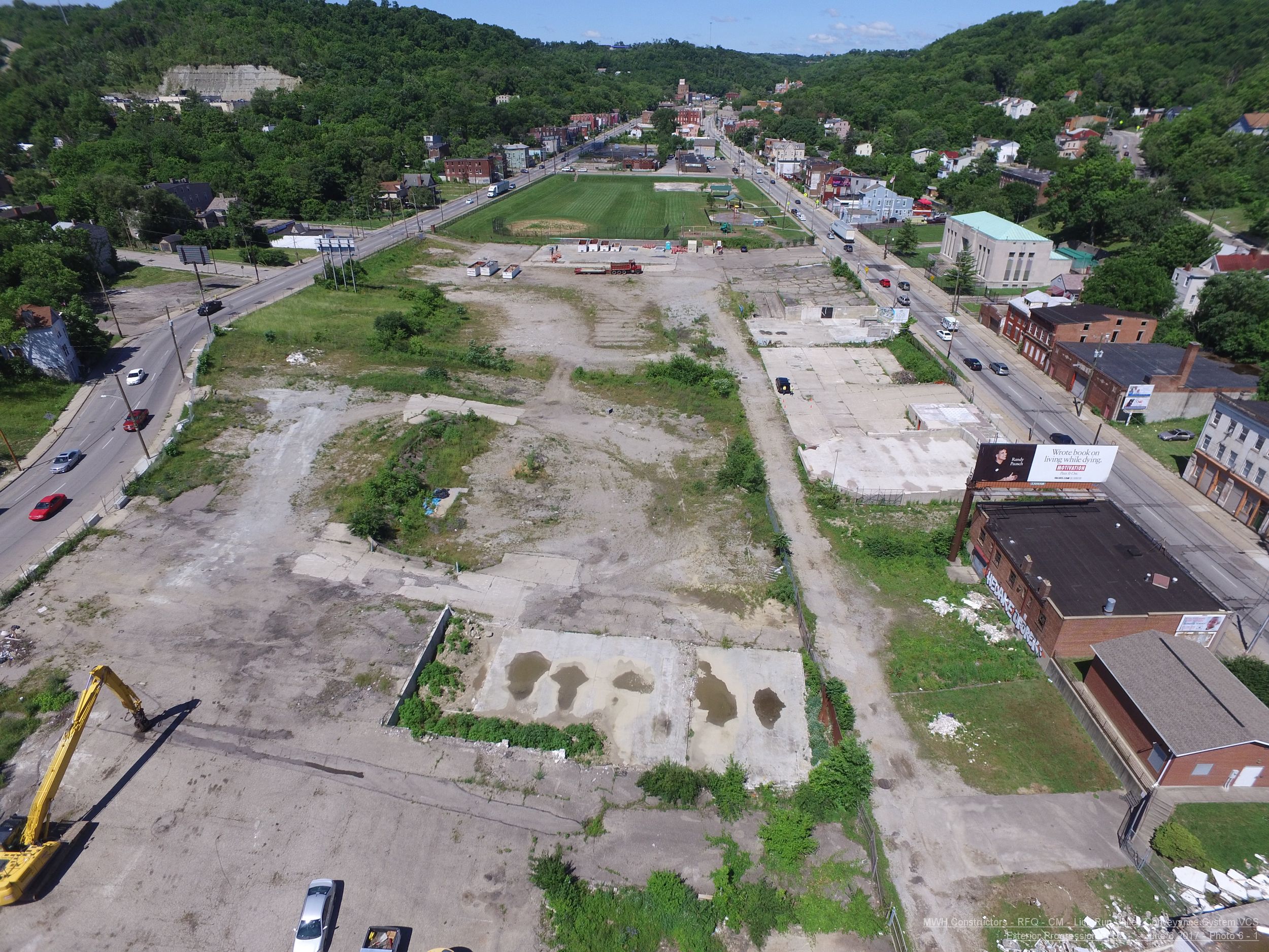
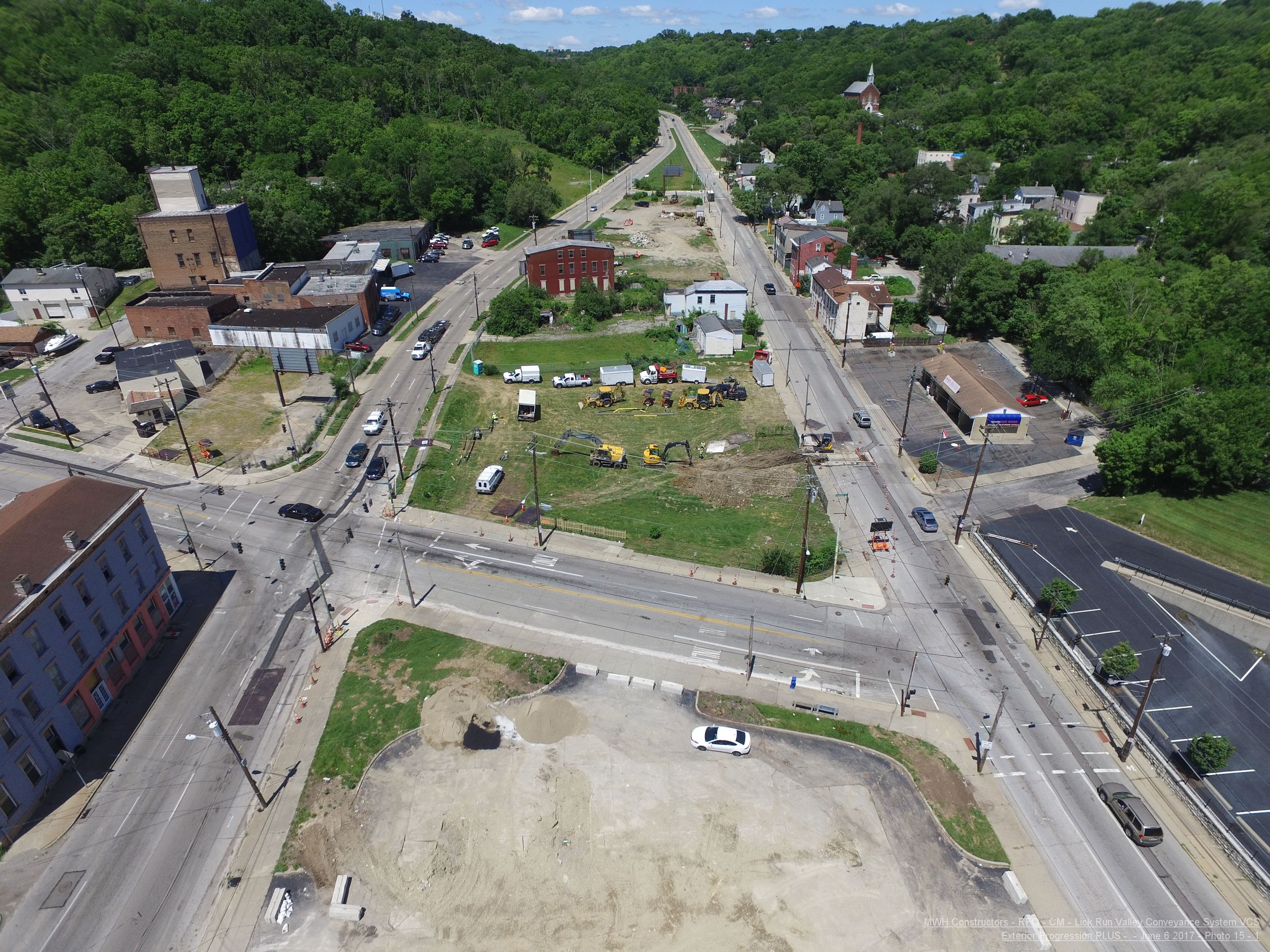
BEFORE: Area west of Harrison Avenue. Photo taken in June 2017.
Grand Avenue
NOW: Grand Avenue bridge. Photo taken on October 1, 2021.
BEFORE: Grand Avenue area. Photo taken in June 2017.
Kebler and Van Hart Streets

NOW: Van Hart and Kebler street bridges. Photo taken on October 1, 2021.
BEFORE: Between Grand Avenue and Quebec Road. Photo taken in June 2017.
Quebec Road Area
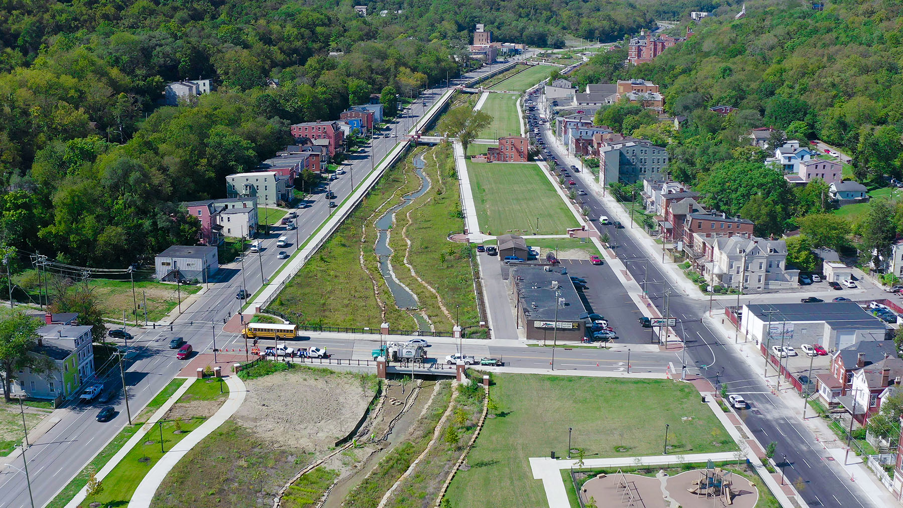
NOW: Headwaters Park, which include a boardwalk and off-site parking. Photo taken
on October 1, 2021.
BEFORE: Quebec Road area. Photo taken in June 2017.
Old Queen City Area
NOW: Forebay pond at the Queen City Bypass and old Queen City Avenue (west end of the project). Photo taken on October 21, 2021.
BEFORE: Old Queen City Avenue at the Bypass (west end of the project). Photo taken in June 2017.
Stream Channel and Stormwater Conveyance Box

Rendering showing a cross-section of the urban stream and stormwater box.

Closeup of construction of a two-cell portion of the stormwater conveyance box. The stream will be built on top of the box structure. Photo taken May 24, 2018.
Sewer Construction Around the Lick Run Greenway
Map showing the box, channel and sewers to be constructed in the Lick Run Greenway area